
Iran and the Houthis have been tapping into the Automated Tracking System (AIS) to locate and attack ships in the Red Sea and since December 23 ships in the Indian Ocean.
Where AIS lacks information on military ships, Iranian radars do the job of finding them. The entire operation is sophisticated and is managed in real-time, requiring significant assets to identify targets. There is no doubt that Iran and the Houthis are working together.
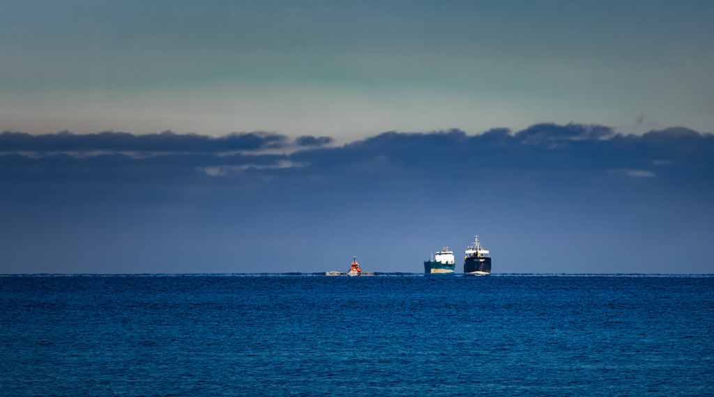
AIS is a system onboard ships that reports their name, location, position, course and speed. The AIS system is linked to the ship’s gyro compass, rate of turn indicator and GPS.
The resulting information is received by other ships, sent to coastal relay stations and can also be transmitted to AIS-enabled satellites. Around 99% of commercial ships worldwide use the AIS system. The system is mandated by the International Convention for the Safety of Life at Sea or SOLAS.
SOLAS has a number of other requirements all designed to enhance sea safety. For example. it requires ships to be equipped with Emergency Position Indicating Radio Beacons (EPIRBs) and Search and Rescue Transponders (SARTs).
Ships at sea are obligated to offer assistance to those in distress. SOLAS also specifies the use of life-saving signals with specific requirements regarding danger and distress messages. US military ships also have AIS systems but don’t always turn them on.
Military ships have collision-avoidance radars that can be used to help avoid accidents, especially in areas around ports and heavily used channels. In addition, US Navy ships always have 24-hour watches by trained sailors.
AIS only covers ships over 300 tons, so many small fishing and tourist boats do not have the system. Radars are not always effective, especially against wooden vessels or in bad weather.
On June 17, 2017, the USS Fitzgerald, a guided missile destroyer like those now operating in the Red Sea, collided with the merchant ship ACX Crystal 80 nautical miles (150 kilometers; 92 miles) southwest of Tokyo, Japan. Seven sailors died in the incident. The Fitzgerald was not using its AIS system.
A few months after the Fitzgerald accident, the US Navy decided to use AIS in high-traffic areas. Some commercial ships turn off their AIS in areas where there is either a threat of attack or hijacking. However, doing so in high-traffic areas like the Red Sea invites the chance of a serious accident and compromises insurance policies for ships and cargo.
There are a number of online, public AIS trackers that cover civilian and military ships. One of them, Cruising Earth, features a separate section to track military ships from many nations, including the United States.
Checking on the US ships that have been identified as involved in Red Sea operations, the USS Carney, USS Mason and, most recently, the USS Laboon (all Arleigh Burke-class AEGIS-equipped destroyers) reveals that none of them have their AIS system operating.
The USS Mason was last reported on AIS on November 30th in the Gulf of Aden. There are no reports since that date and the vessel is listed as “out of range.” The USS Carney’s last reported AIS location was on December 12, 2022, on the east coast of the United States.
The USS Laboon, which just shot down two Houthi missiles, was last reported in the Sea of Azov on June 18, 2021. What this means is neither the Iranians nor the Houthis can use AIS to track US warships.

- Trump and Ukraine: what Russia wants, what Trump could do - November 8, 2024
- North Korean troops in Kursk could backfire on Moscow, Pyongyang - November 1, 2024
- Secure enclaves: bad CHIPS Act idea wasting billions - August 12, 2024